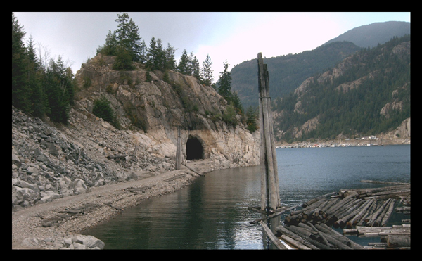
Before the Hugh Keenleyside Dam flooded the Arrow Lakes in the 1960s, and the CPR’s Columbia & Western line was relocated, the Labarthe Tunnel passed through a rock bluff for 187 feet (57 metres).
It is a 20-minute paddle from Scotties Marina, easily seen from both ends of a bluff at 49°20’8″N 117°48’32″W.
Drive: To reach it from land, follow Arrow Lakes Drive west outside Castlegar past Hugh Keenleyside Dam and park at N 49°20.097 W117°46.891.
Trail: Follow the abandoned railway line. Start at the 8.5 km mark and walk to roughly 11.5 km area. Follow a trail that leads down from the rail bed to the tunnel. When the water level is low (early spring, late fall), the tunnel is dry, and you may walk through it. Conversely, when the water level is high, the tunnel may only be passed through with a boat or canoe. The tunnel may be submerged during very high water, but that hasn’t happened in years. The picture below shows the tunnel during low water.