This is the rocky “bump” north of all the houses in Warfield. When I lived in Warfield and first walked up here, there was no specific trail but lots of ways to pick your way through the varied rocks to the summit. Now there is a trail. it offers 360-degree views of the Columbia River Valley.
Rating: ♦♦◊◊◊
Location: North above the village of Warfield.
Difficulty: A1 easy.
Elevation Gain: 230 m
Distance: 1.5 km one way
Time: 2-2.5 hours
Season: April to November
Access: Good 2WD low clearance in the village.
Map: 82F/4
Drive to Jacob Street in Upper Warfield. Park at one of the few spots on the narrow road.
Trail. The trail goes to the left behind a gated road. Follow the old road for the first 0.6 km. The road narrows to a gentle trail over a rocky bench.
0.9 km The trail steepens to loose and rocky switchbacks.
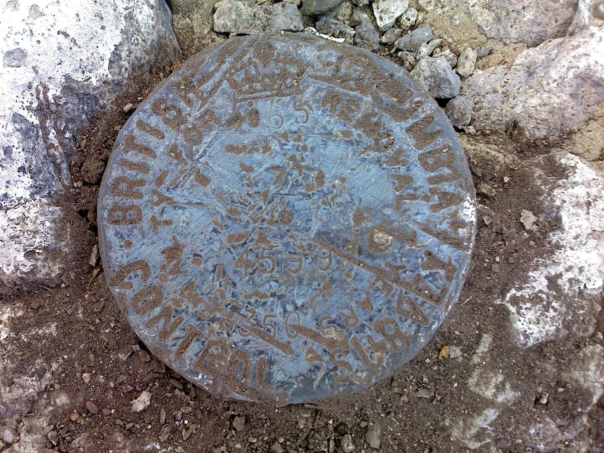
1.3 km. The summit with a scenic bench overlooking Warfield, west to Red Mountain Ski Resort, east to Trail, and north up the Columbia River. There is also a control disc on top that is in perfect condition as no one comes up here.
Return the same way.
This is a description of a difficult traverse completed in 13 hours, car-to-car by Jaron…
SWITZERLAND Intangible Cultural Heritage Alpine pasture season Avalanche risk management Basel Carnival Holy Week processions…
Mapping how the U.S. forcibly took Indigenous lands Not long after the Great American Experiment…
What is cyclospora? Here’s how the parasite causing ‘explosive diarrhea’ spreads As cases of cyclosporiasis…
Before the Hugh Keenleyside Dam flooded the Arrow Lakes in the 1960s, and the CPR’s…